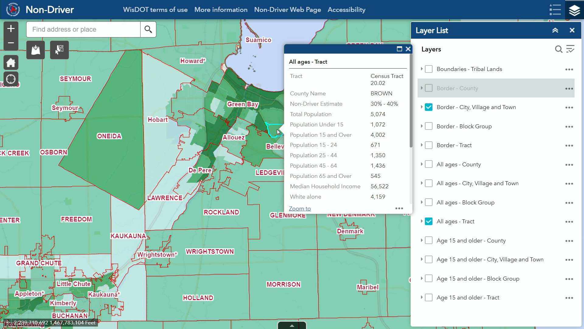
The Non-Driver ArcGIS Online Application addresses the difficulties faced by non-drivers in navigating every day activities like work, grocery shopping, and healthcare visits. This is particularly important for individuals with disabilities and adult students, who often struggle to participate in their communities due to limited transportation choices. With a budget of $110,000, this project offers wide-ranging benefits statewide. The application’s data covers estimates for all 72 counties and 1,851 cities, villages, and towns within the state. Local and regional planners, among other users, can leverage this data by comparing non-driver spatial information with existing or planned transit service maps. This fosters data-driven decision-making and evidence-based policy choices for Wisconsin’s communities. By establishing an inclusive transportation system with various options for the entire community, the tool significantly improves the understanding of non-driver distribution – shaping regional and local/state governmental decisions.